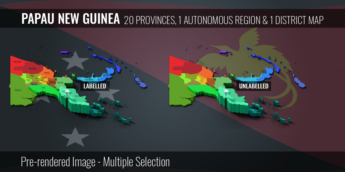
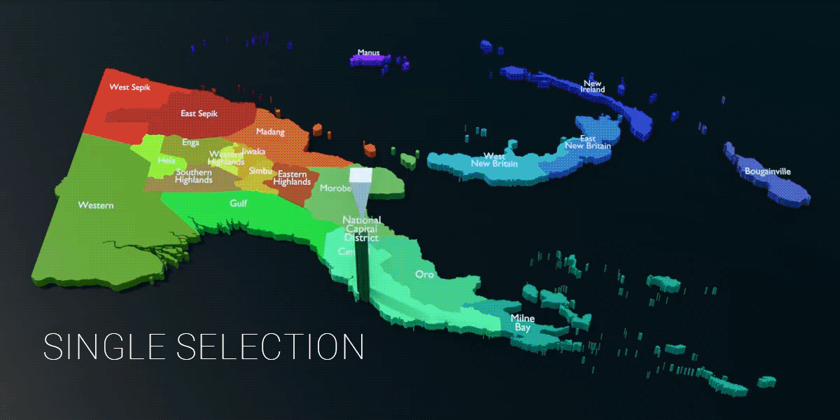
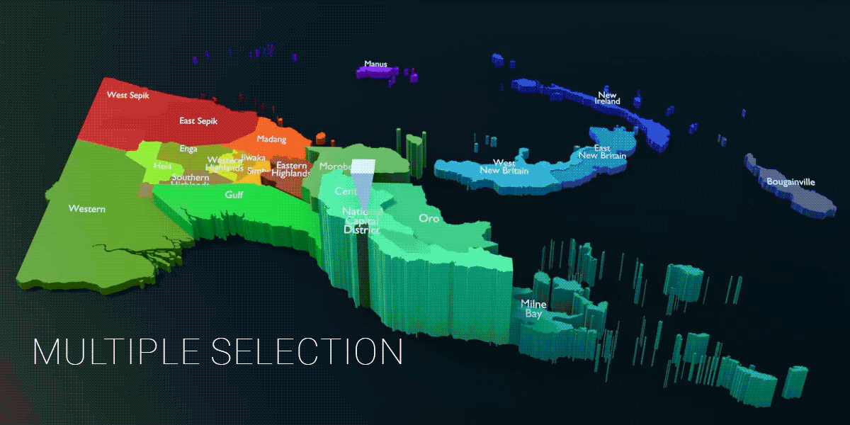
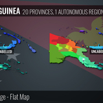
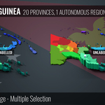
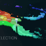
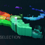
Papau New Guinea - 20 Provinces, 1 Autonomous Region & 1 District Map (3D + Pre-Rendered Images)
 Zafreelo Studio
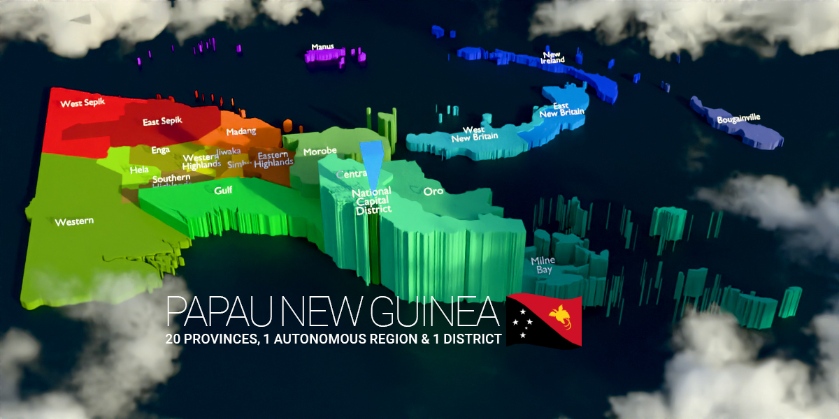


Geo Nodes modifiers:
Single Extrusion Effect Value:
- Refer to Tooltip in modifier
Multiple Extrusion Effect Value:
- Refer to Tooltip in modifier
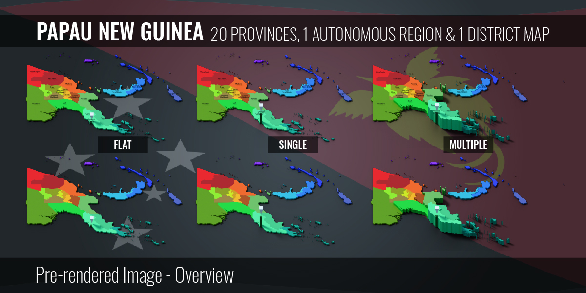
# Switch between Single Extrusion or Multiple Extrusion from "Scenes" at Top Right
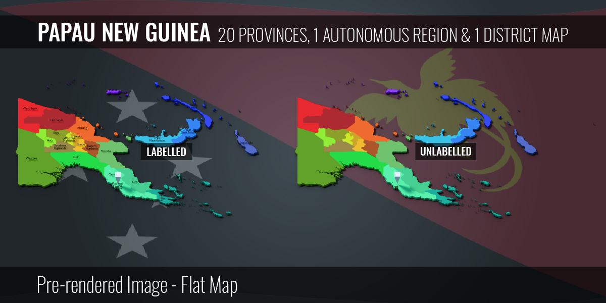
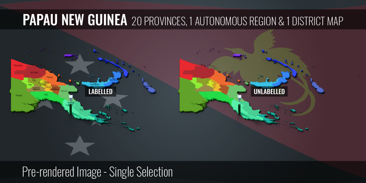
Hide or Unhide name in Name Size:
- Default value = 1
- Hide name value = 0
Setup render output in Compositing tab:
- Go to "Compositing" tab
- Select "File Output"
- Select "Base Path" folder icon to choose a desired directory for render output
$5.99
Have questions about this product?
Login to message
| Dev Fund Contributor | |
| Published | about 11 hours ago |
| Software Version | 4.4, 4.3, 4.2, 4.1, 4.0, 3.6, 3.5, 3.4 |
| Render Engine Used | Cycles, Eevee |
| Misc Data | Rigged |
| License | Creative Commons |
Discover more products like this
parishes canton New Guinea glb Obj worldmap map islands districts 3D Map gltf atolls cities world map SVG communes provinces png regions administrative-division papau-new-guinea States citi papaunewguinea counties municipality papau fbx governorate departments 3d