Construction Site Terrain Scan
 Real3DAsset
in Urban
Real3DAsset
in Urban


Overview
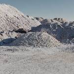
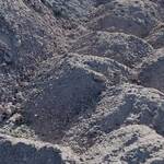
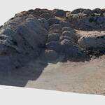
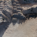
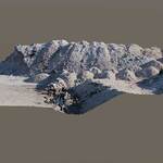
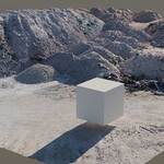
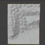
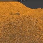
This 3D scanned construction site model is designed to provide high realism for architectural visualizations, environment design, and simulation projects. It includes multiple Levels of Detail (LOD) to fit different performance and quality requirements.
What's Included
-
3 LODs: High (23M), Medium (5.8M), Low (363K)
-
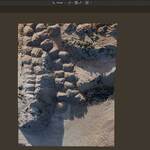
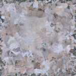
8K Texture (8192x8192, Albedo)
-
Formats:
.blend,.fbx,.obj
Usage
-
.blend file ready to render in Blender 4.4.0 (Cycles)
-
.fbx/.obj can be imported into other 3D software
-
UVs unwrapped, texture included and mapped
Notes
-
No animation or rigging
-
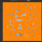
Mesh is not manifold (common in photogrammetry)
-
Normal maps not included
License
Royalty Free: use in personal and commercial projects.
Resale or redistribution of the model itself is not allowed.
Have questions about this product?
Login to message
| Published | over 1 year ago |
| Blender Version | 4.4 |
| Render Engine Used | Cycles |
| Misc Data | Uvs-Unwrapped, Low-High-Resolution, Textured |
| License | Royalty Free |
Discover more products like this
quarry mountain Pile sand construction ground scan Site working stone photogrammetry hole industrial crater Rock Opencast excavation stone-pit drone