 AAWS424
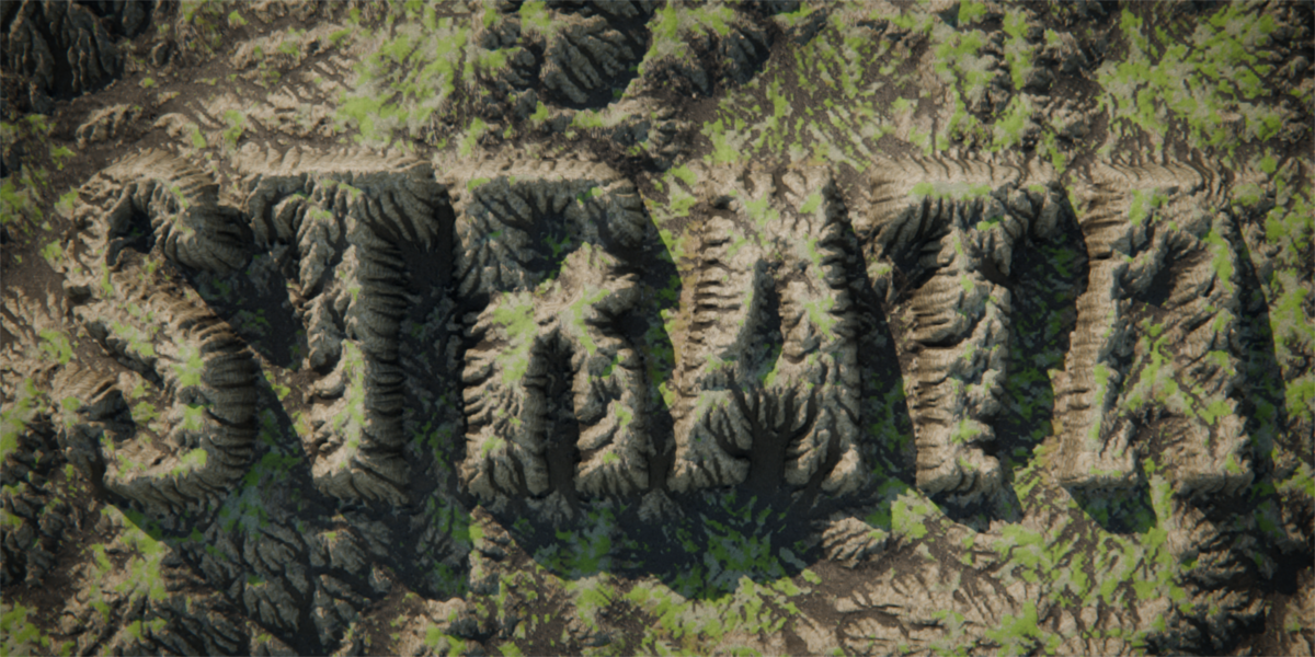
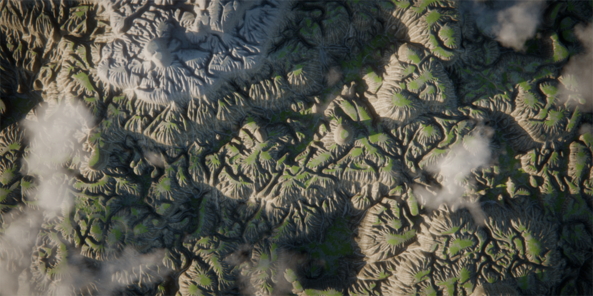
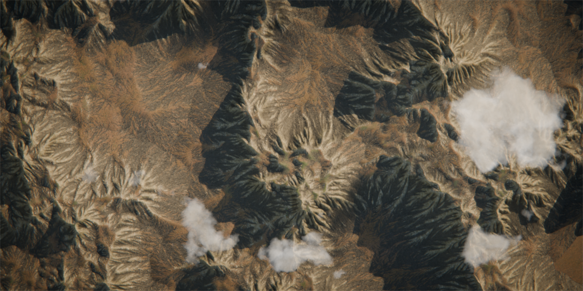
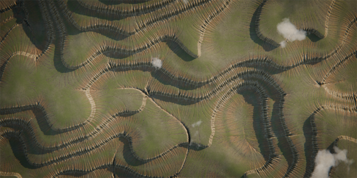
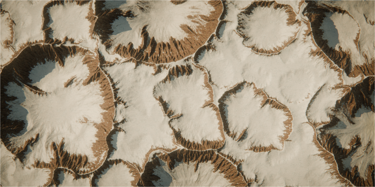
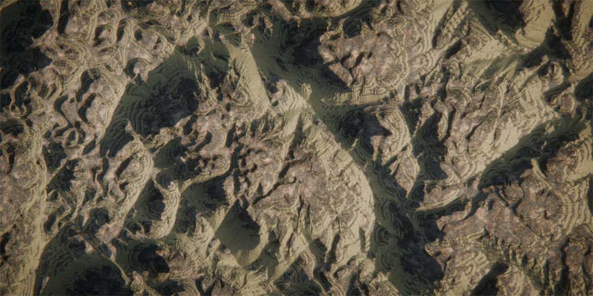
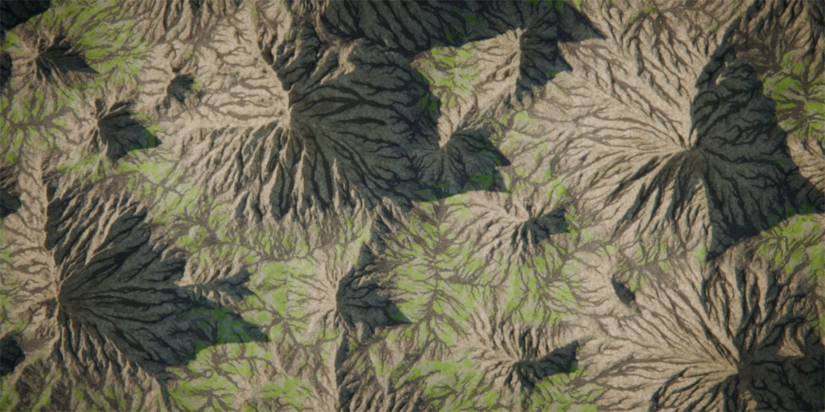
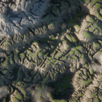
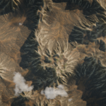
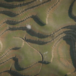
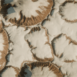
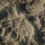
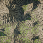
No. This release is a heightfield and erosion engine, not an environment kit. It
generates the terrain and the data that describes it. That data is written onto the mesh
as te_* float attributes — flow, wear, deposit, slope, curvature, occlusion, lakes — which
any scatter tool or Geometry Nodes setup can read directly, so a forest can stop at the
treeline and scree can follow the actual erosion. Scattering is planned for a later
release.
 Included
Includes 12 months of
- Support from AAWS424
- Product updates
Extend this product’s Support Period +12 months: 50% of product price
Have questions before purchasing?
Login to message
| Blender Extension Compatible | Yes |
| Published | about 1 hour ago |
| Blender Version | 5.2 |
| Extension Type | Add-on |
| Render Engine Used | Cycles, Eevee |
| License | GPL |
Discover more products like this
GPU Heightmap terrain generator erosion procedural landscape hydraulic erosion thermal erosion canyon procedural-terrain mountains terrain