 Jan Holinka


Survey Points Exporter – Real-World Coordinates for Blender
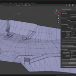
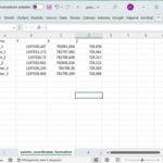
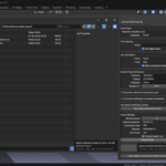
Survey Points Exporter is a professional Blender addon for exporting survey points — mesh vertices and Empty object locations — into real-world coordinates.
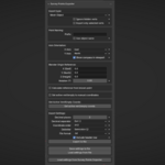
It allows you to work with a custom axis orientation (East / West / North / South), reference point offsets, and optional Z-axis rotation, instead of relying on Blender’s default origin.
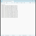
The addon supports exporting points from the active mesh or entire collections, with control over coordinate order, decimal formatting, and output format (TXT or CSV).
Additional tools include calculating a reference point from a known surveyed point, retrieving real-world coordinates of an active vertex or Empty, moving points to entered coordinates, and a viewport compass overlay for orientation.
Designed for surveying, construction, civil engineering, and CAD/GIS workflows.
For roundtrip workflows, this add-on integrates seamlessly with Survey Points Importer – Geodetic & Construction Workflow, allowing consistent coordinate system settings between import and export.
Together with Survey Points Importer and Survey Points Annotator, it forms a complete pipeline for importing, visualizing, annotating, and exporting real-world survey data in Blender.