 Jan Holinka


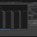
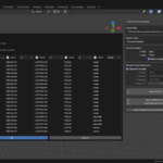
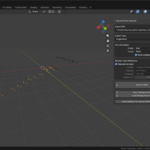
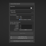
Survey Points Importer – Geodetic & Construction Workflow
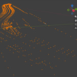
Survey Points Importer is a professional Blender add-on designed for importing real-world survey and control point data into Blender with maximum accuracy and flexibility.
It is built for geodesy, construction, engineering, and BIM-oriented workflows, where correct coordinates, orientation, and scale matter.
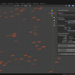
The add-on allows you to import survey points from common text-based formats while maintaining full control over coordinate mapping, axis orientation, reference offsets, and visualization.
For roundtrip workflows, this add-on integrates seamlessly with Survey Points Exporter – Geodetic & Construction Workflow, allowing consistent coordinate system settings between import and export.
For visualization and documentation, Survey Points Annotator can be used to create clear, labeled, and printable survey drawings directly from imported data.
🔹 Key Features
-
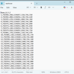
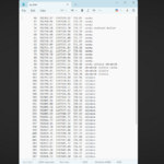
CSV / TXT survey data import
-
Flexible column mapping (X, Y, Z, name)
-
Reference point offset support
Easily shift local survey coordinates into Blender space -
Axis remapping & orientation control
Adapt survey coordinate systems to Blender’s axis conventions -
Rotation correction
Align imported data to project orientation -
Robust parsing
Handles different separators, decimal formats, encodings, and headers -
Automatic point grouping
-
Clear visualization using empties for precise point placement
-
Non-destructive workflow – reimport and adjust settings at any time
🔹 Typical Use Cases
-
Importing geodetic survey points into Blender
-
Construction site visualization
-
Engineering and infrastructure projects
-
BIM / CAD → Blender data pipelines
-
Creating accurate base data for modeling or visualization
-
Preparing survey layouts for coordination and presentation
🔹 Designed for Professionals
This add-on is not a generic point importer.
It is designed for users who need engineering-grade precision, predictable results, and full control over how survey data is interpreted and placed inside Blender.
Perfectly complements Survey Points Exporter – Geodetic & Construction Workflow, making it easy to build a complete import/export pipeline for real-world projects.
When combined with Survey Points Annotator and Survey Points Exporter, it becomes part of a complete geodetic and construction workflow inside Blender.
🔹 Requirements
-
Blender 5.0+
-
Survey data in CSV or TXT format