Survey Terrain Tools – Geodetic & Construction Workflow
 Jan Holinka


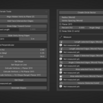
Overview
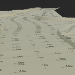
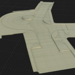
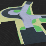
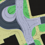
Survey Terrain Tools provides terrain-focused modeling and measurement tools in a single panel inside Blender.
It is designed for fast, precise workflows used in survey, civil engineering, and CAD-style geometry editing.
UI Location
3D Viewport → N Panel → Survey → Survey Terrain Tools
Installation
- Open Blender (5.0+)
- Go to Edit → Preferences → Get Extensions
- Click the arrow (top right) → Install from Disk
- Select the ZIP file
- Click Install
Main Tool Groups
Align
Align Hidden Verts to Plane (Z)
- 2 verts → computes Z using vertical-plane logic in XY
- 3 verts → projects hidden vertices to a defined plane
💡 Used when working in plan view and resolving elevation later.
Faces
Add Face Intersection Edges
- Select 2+ faces
- Creates edges where their planes intersect
- Faces are not modified
💡 Useful for technical geometry construction and analysis.
Cursor Edge / Slide
Draw Edge Toward Cursor
- Interactive tool with preview
- Optional fixed length
- Works at arbitrary angle
Slide Verts Along Edges
- Moves vertices along a single connected edge
- Exact distance in world space
- Optional Planar (XY) mode
Slopes & Perpendicular
Supports:
- Percent (%)
- Degrees (deg)
- Ratio (1:x)
(All synchronized)
Set Slope / Set Slope on Line
- Apply slope to 2 verts or entire line
Extrude Vertices ⊥
- Offset geometry using angle bisector
- Adjustable slope
- Corner correction (Angle Correct Length)
Extrude Vertices ⊥ Fill
- Same + creates faces
Extrude ⊥ Fill (Slope Range)
- Slope varies along the line
Get Slope
- Reads slope between vertices
Annotate Slopes
- Creates labels + arrows
- Percent or ratio format
Circles
Create Circle Sector
- 2 verts + radius
- 3 verts (true 3D circle)
Supports:
- 3D arcs
- Planar (XY) arcs
- Adjustable density
Measurement (World Space)
- Edge length (3D / Planar XY)
- Face area (3D / Planar XY)
- Volume (closed mesh)
- Angle between edges
💡 Results are shown directly in the UI.
Troubleshooting
Tool does not run
- Must be Mesh
- Must be correct selection
- Usually requires Edit Mode
Slide does nothing
- Vertex must have exactly one visible edge
Volume fails
- Mesh must be closed
Latest Update (v1.1.0)
- Face intersection edges
- Planar (XY) measurements
- Edge angle measurement
- Slope range extrusion
- Improved planar workflows
👉 Full changelog available in the package.
Have questions about this product?
Login to message
| Blender Extension Compatible | Yes |
| Published | 7 months ago |
| Blender Version | 5.0 |
| Extension Type | Add-on |
| License | GPL |
Discover more products like this
terrain Civil Engineering modeling measurement slope cad drafting geodesy survey Technical drawing infrastructure