What is Earth Zoom, and does it need an internet connection?
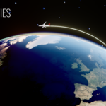
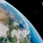
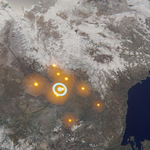
Earth Zoom is a camera shot that dives from space down to any point (or rises back out): through clouds, with camera shake, onto sharp pictures of the place, with optional 3D buildings growing from the ground and a cross-fade into your own photo or video. When you choose a point, satellite pictures (Sentinel-2, 10 m worldwide), aerial photos (USA, France, Switzerland, Netherlands, Spain, Japan) and OpenStreetMap buildings are downloaded in the background and cached. This needs internet and Allow Online Access in Blender preferences. You can also use your own pictures without any download.
Can I use the downloaded pictures and buildings in commercial work?
The data comes from open sources that allow commercial use with attribution: ESA WorldCover / Copernicus Sentinel-2 (CC BY 4.0), national aerial photo services (USGS, IGN France, swisstopo, PDOK, IGN España, GSI Japan) and OpenStreetMap (ODbL). Credit the sources you used in the description of your video; the full list is in the Credits panel and the documentation. Google Earth or Google 3D Tiles content is not used.
Can I show historical or custom borders?
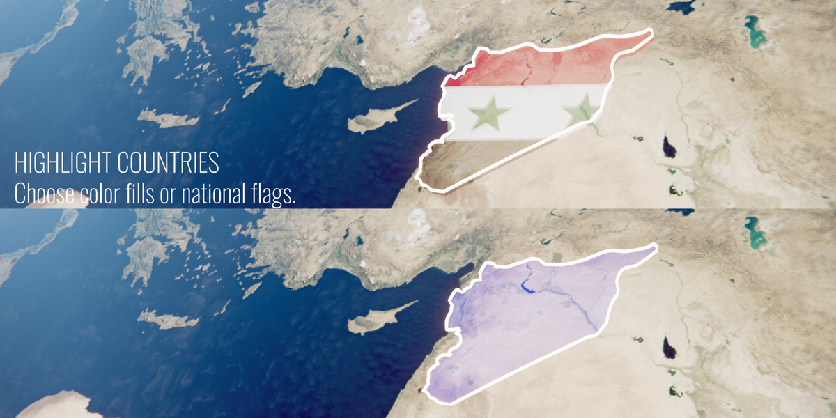
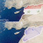
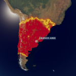
Yes. Use Import Borders (GeoJSON / SVG) in Highlight Countries. Draw your own shapes in geojson.io or use ready historical borders (for example the free historical-basemaps project). SVG works when the drawing is an Equirectangular or Mercator world map with known edges. Imported regions get the same fills, borders, extrusion and reveals as countries, and you can fill any region with your own flag, coat of arms or emblem.
Does everything work on the flat world map?
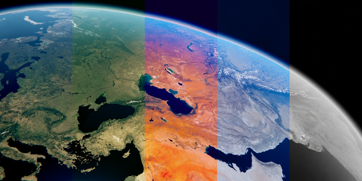
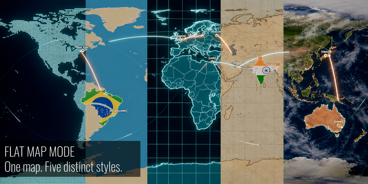
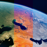
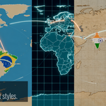
Yes. Switch Map Shape to Flat and pins, labels, routes, countries, effects, Follow the Line and Earth Zoom keep working on a 2:1 world map. All five map styles (Realistic, Paper, Hologram, Dots, Flat) work on the globe and on the flat map.
Can I use my own 3D models?
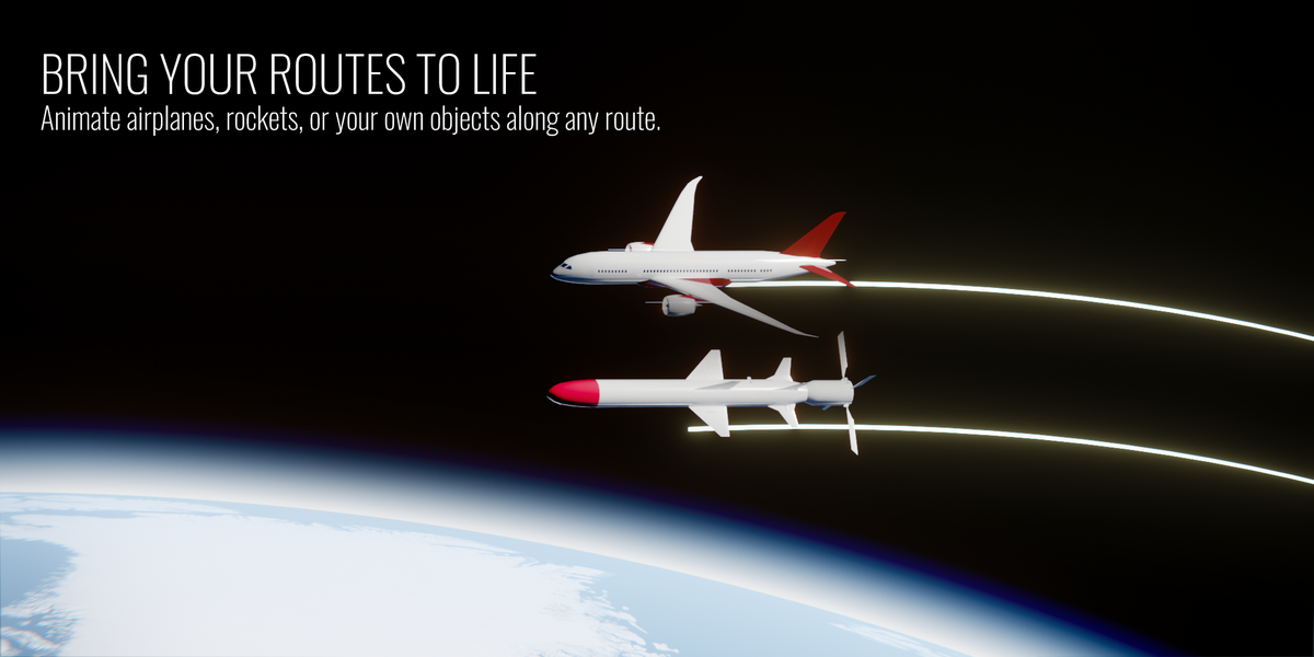
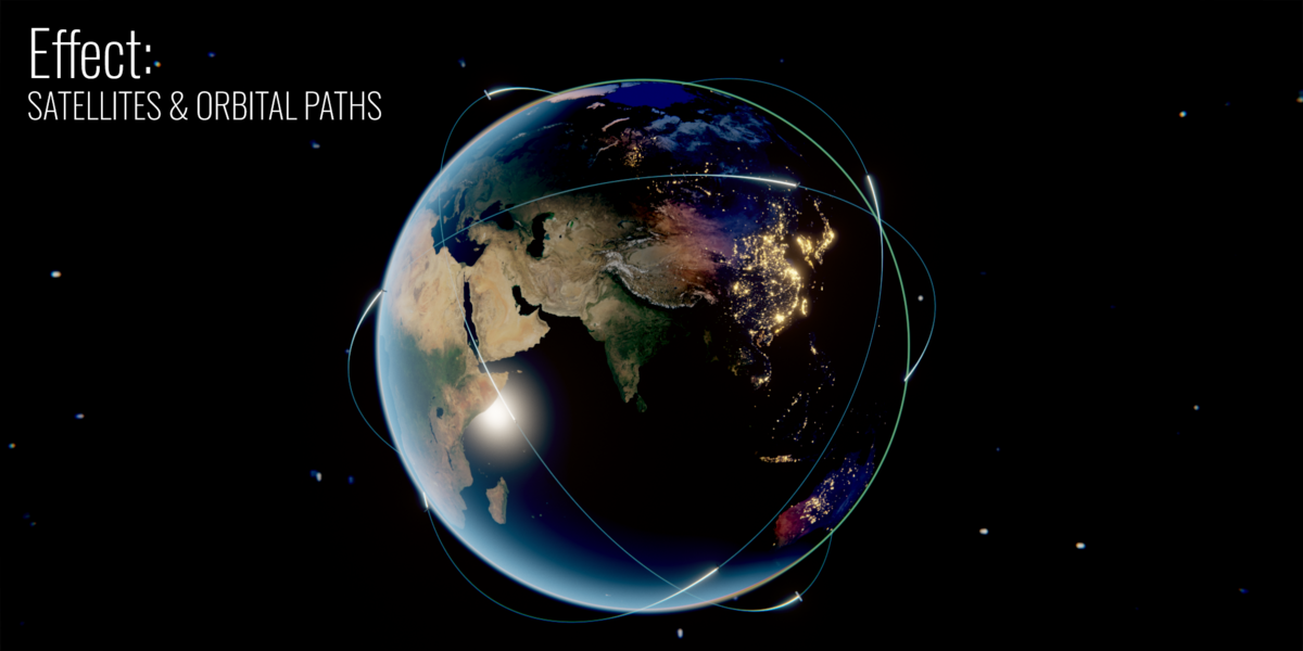
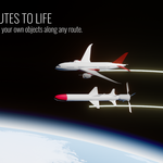
Yes. Any object from your scene can travel along a route (Custom Object, with its forward axis and size) or orbit the Earth as a satellite. Globe Gen also includes an airplane, a rocket and a satellite model.
How do I render the final video?
Use the Render panel at the bottom of the Globe Gen tab: choose MP4 (H.264) or a PNG sequence, resolution (up to 4K, vertical and square formats included), FPS, frame range, render region and output folder, then press RENDER VIDEO. With an Earth Zoom final photo or video, the footage stays clean: the color grade and looks are not applied to it.
Are Earth textures included, and does Globe Gen work with Eevee and Cycles?
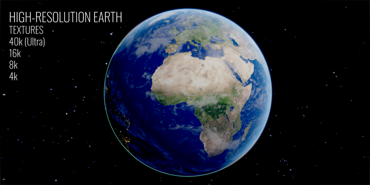
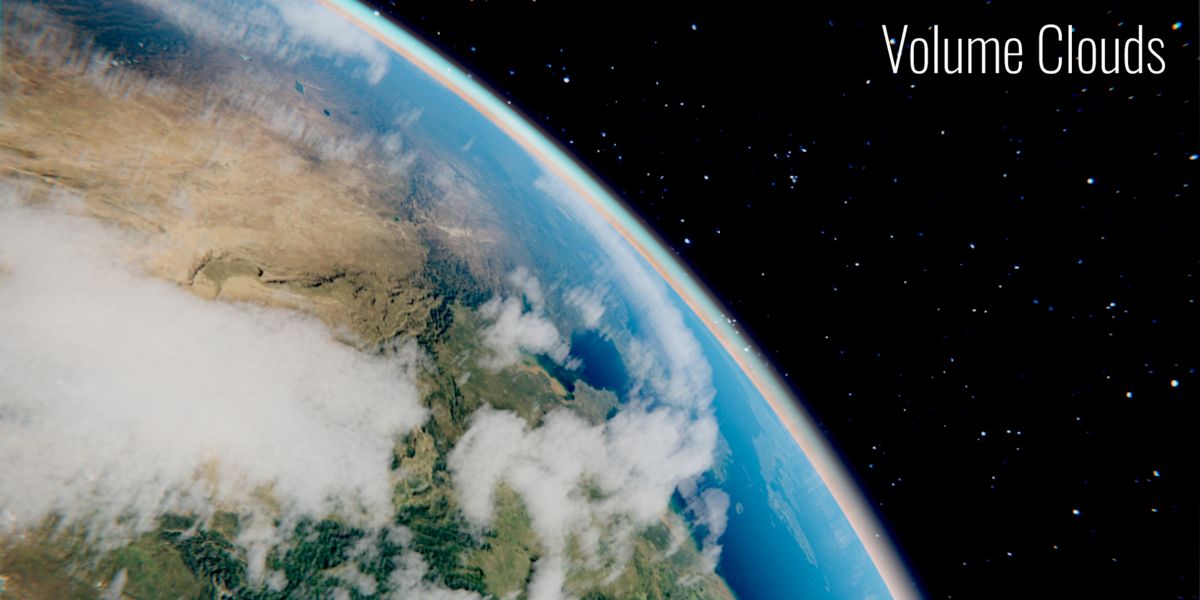
Standard Earth textures (2K to 8K) are downloaded separately with the Download Textures button; internet access is required for that first download. The map styles are built from these same textures, no extra files are needed. Globe Gen supports Eevee and Cycles; volumetric clouds require Cycles. You can also connect your own high-resolution maps through Ultra mode.
Do I need to build the globe and animate routes manually?
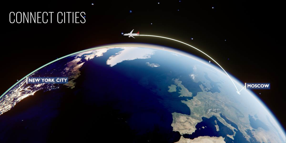
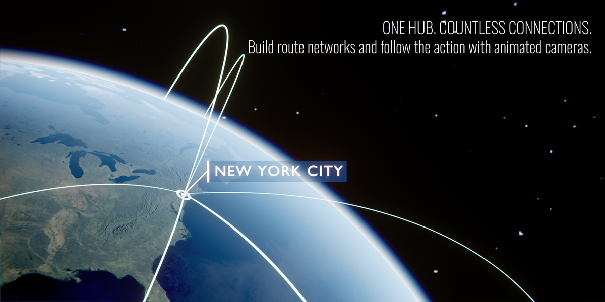
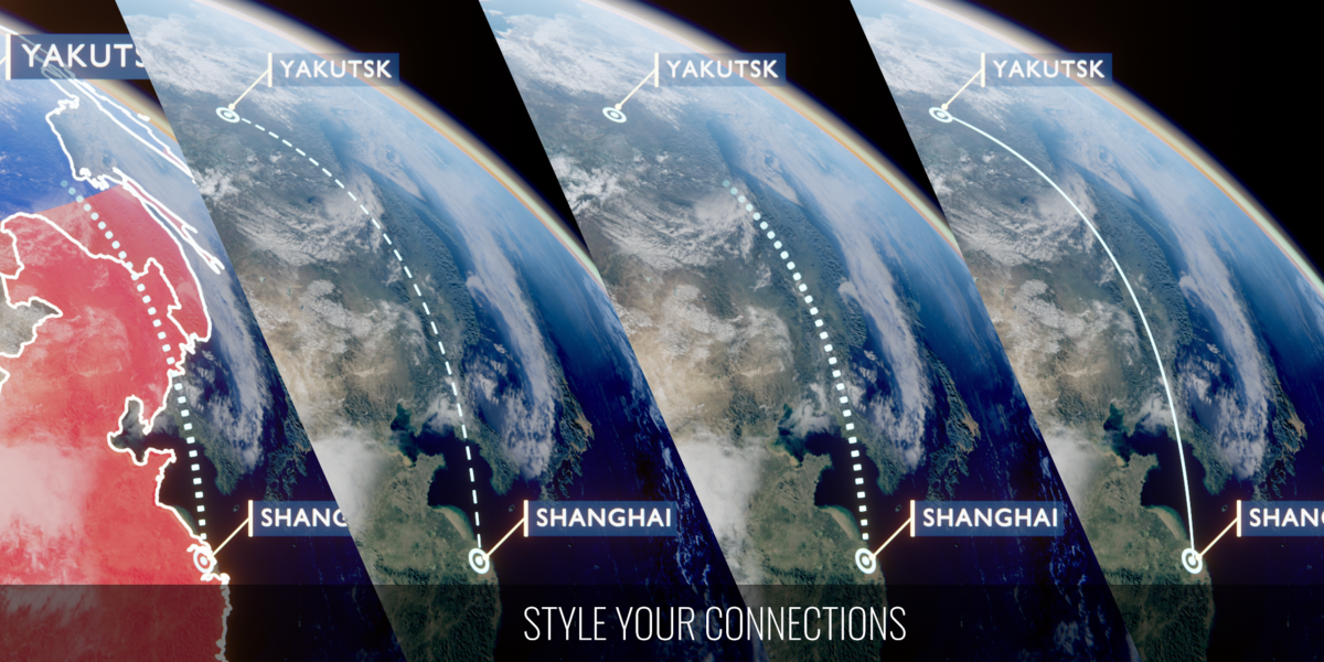
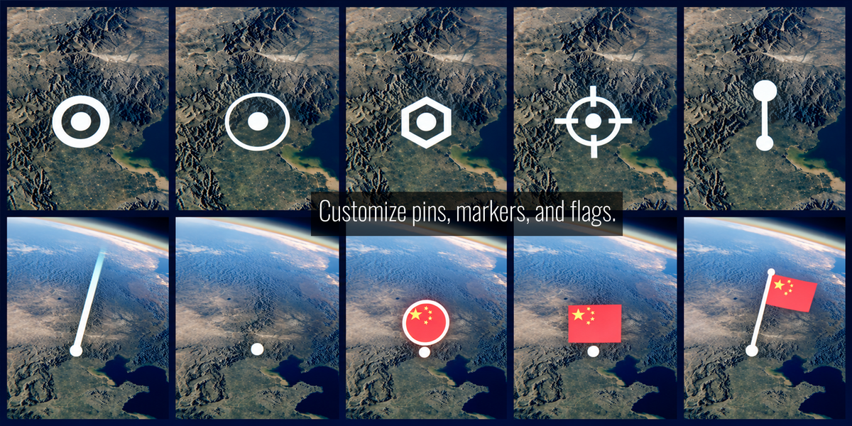
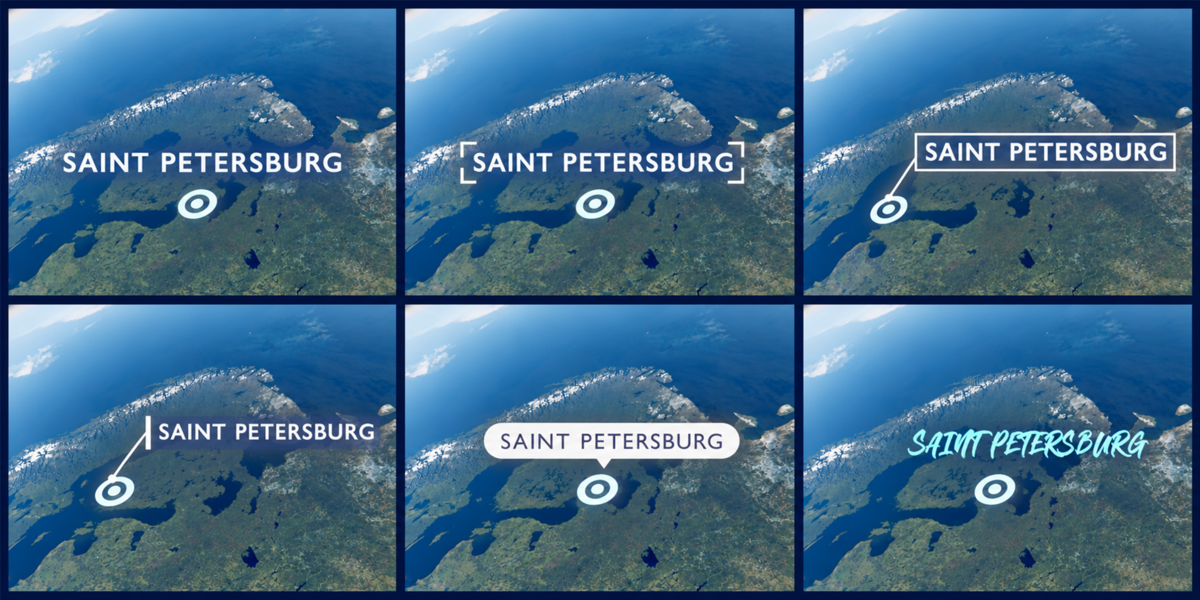
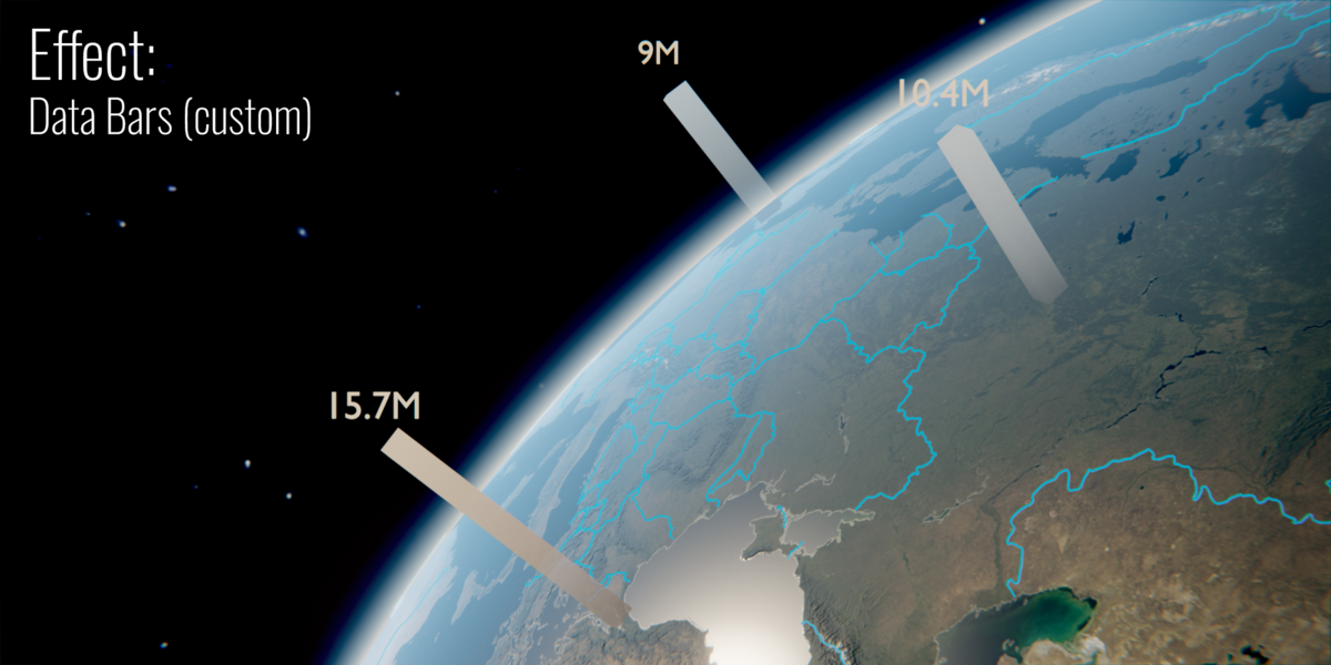
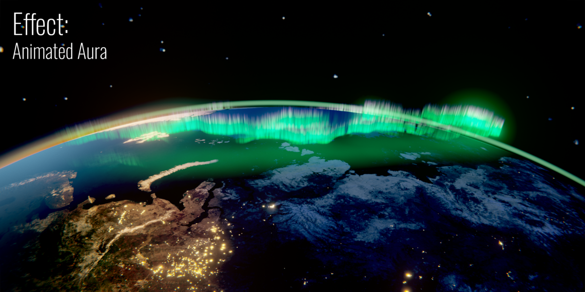
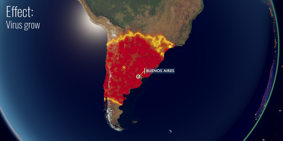
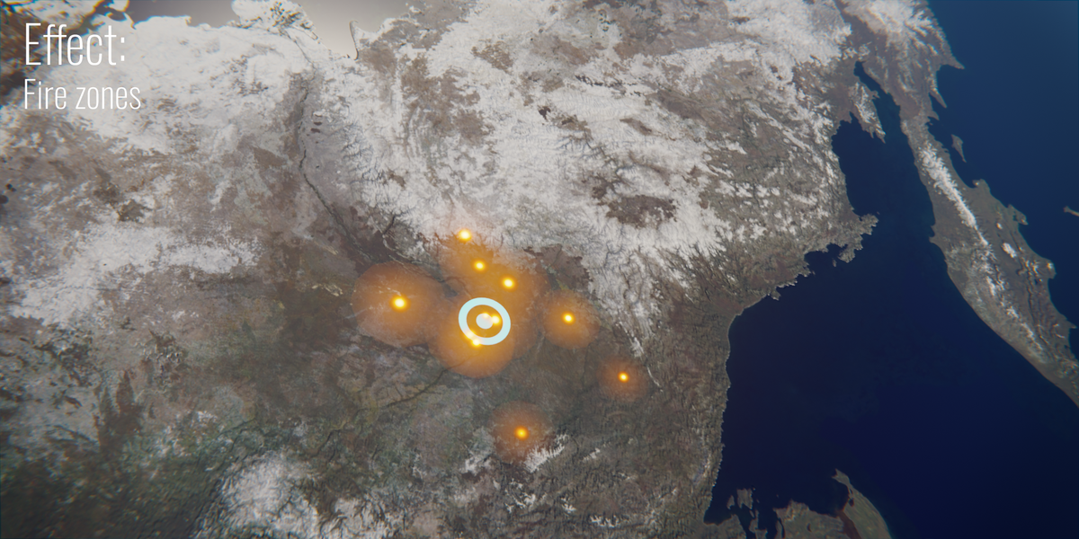
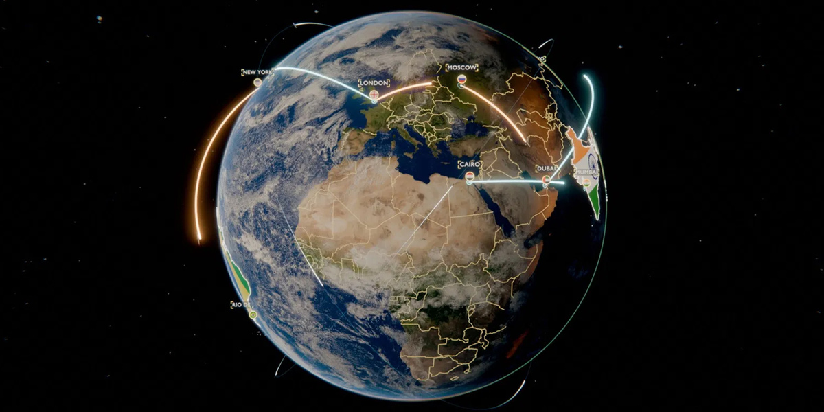
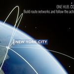
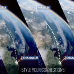
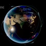
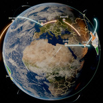
No. Globe Gen creates the Earth and lets you add cities, connect them with animated routes that play one after another (Chain All, Animate All), highlight countries, and create camera shots: Follow the Line for a route or a whole journey, and Earth Zoom for a dive from space to one place. You then customize styles, timing and camera movement from the panels.