 jangstudio


ImageGIS2Camera
Blender add-on for geotagged photos, GIS point layers, camera backgrounds and per-camera rendering - v1.0.46
Turn real-world photo locations and GIS point data into organized Blender cameras in minutes.
ImageGIS2Camera is designed for visual-impact work, photomontage preparation, renewable-energy visualization, planning submissions, GIS-to-3D workflows and any Blender scene where photographs, camera viewpoints and spatial data must stay synchronized. The add-on can create cameras from geotagged images or from SHP/GPKG point data, attach matching background images, read EXIF lens and heading metadata, assign one camera per timeline frame, preserve per-camera render resolution and export files using camera names.
Instead of manually creating, naming, aligning and rendering dozens of viewpoints, ImageGIS2Camera builds a clean camera set, places it in a dedicated collection, creates timeline camera markers and gives you a practical rendering workflow for multiple viewpoints with different source-image resolutions.
Main benefits
|
Import from geotagged photos Create cameras directly from GPS coordinates stored in image EXIF metadata. |
Import from SHP or GPKG Use a GIS point layer as the camera-position source and match photos by name. |
|
Automatic camera naming Camera names are taken from image filenames or from a vector attribute field such as Name. |
Photo backgrounds Matching images are loaded as camera background images for immediate visual checking. |
|
Per-camera resolution Each camera can store its own custom X/Y render resolution, automatically taken from the linked source image. |
Timeline camera sequence Cameras are assigned to consecutive frames with Blender camera markers so scrubbing the timeline changes the active viewpoint. |
|
Camera-based render names Rendered files can be saved using the active camera name for clean batch output. |
EXIF lens and heading Focal length, 35 mm equivalent and GPS image direction can be imported when metadata is present. |
|
Ground/eye-level snapping Snap cameras or selected objects to a mesh terrain and add an eye-level offset. |
Panoramic workflow Convert cameras to panoramic equirectangular mode and render wide-view or 360-style outputs. |
Interface overview
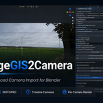
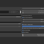
The main ImageGIS2Camera panel sits in the 3D View sidebar. It combines GIS/photo import settings, EXIF options, ground snapping, camera resolution controls and per-camera render buttons in a single workflow-oriented UI.
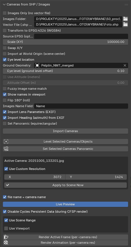
Main ImageGIS2Camera panel with import, EXIF, ground snapping, custom resolution and render controls.
What the add-on creates
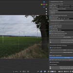
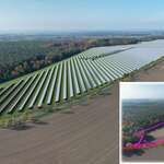
After import, cameras are named after the source photos or after the selected vector attribute. They are placed inside a dedicated ImageGIS2Camera collection in the Outliner, making it easy to keep project cameras separate from the rest of the scene. When an image is linked, the add-on also attaches it as a camera background and stores the image resolution on the camera.
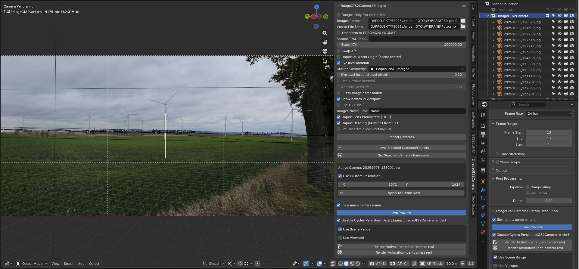
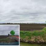
Camera view with a source photograph loaded as background, matched camera name, custom resolution and live preview controls.
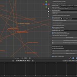
For multi-viewpoint projects, the add-on also builds a frame-by-frame camera sequence. Each imported camera is assigned to a consecutive timeline frame using Blender camera markers. This works like a keyed camera-switching setup: moving the timeline changes the active camera, and the add-on can update render resolution for the active frame.
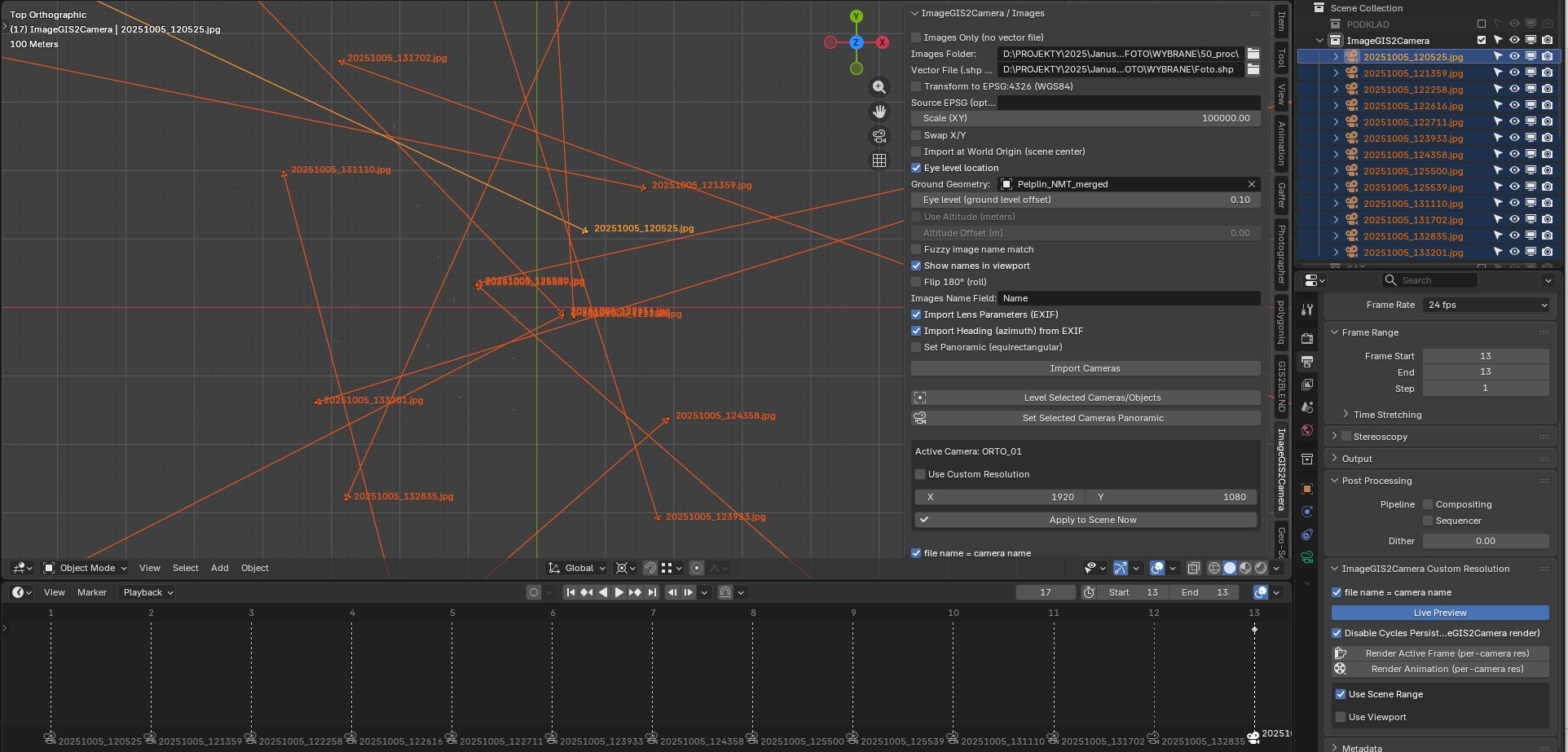
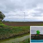
Top view showing the spatial camera layout, dedicated ImageGIS2Camera collection and consecutive timeline camera frames.
Detailed feature description
1. Two import modes: geotagged images or GIS point files
ImageGIS2Camera supports two practical project setups. In Images Only mode, it scans a folder recursively, reads GPS coordinates from image EXIF metadata and creates one Blender camera for every geotagged image. In vector mode, it reads a SHP or GPKG point layer and uses each point as a camera location. This is useful when viewpoint positions are prepared in GIS or exported from another survey/planning workflow.
Images Only: fastest workflow when photos contain GPS coordinates.
SHP/GPKG: best workflow when camera locations are controlled in GIS.
Vector Name field: camera names can come from an attribute such as Name, matching your source image filenames.
2. Georeferenced positioning and coordinate handling
If photos contain GPS coordinates, cameras are positioned from longitude/latitude metadata. If a vector file is used, point coordinates are taken from the layer geometry. The add-on includes tools for WGS84 transformation, optional source EPSG definition, XY scale, XY swap and world-origin centering. These options are important when moving from real-world GIS coordinates into a manageable Blender scene.
Transform to EPSG:4326 (WGS84) helps normalize coordinate systems before import.
Scale (XY) converts geographic coordinate values into a visible Blender scene scale.
Import at World Origin recenters cameras around the scene origin to avoid working far from zero coordinates.
Swap X/Y handles files that use the opposite coordinate order.
3. Automatic image matching and background setup
In vector mode, the add-on can match image files from a selected folder using the selected name field. Exact filename matching is supported, and fuzzy image-name matching can help when filenames contain small differences, prefixes or suffixes. Once a matching image is found, it is loaded as a camera background so the viewpoint can be checked immediately in camera view.
Images are searched recursively in the chosen folder.
Background image display is enabled automatically on each camera with a matched image.
Camera names stay readable in the viewport when Show names in viewport is enabled.
4. EXIF lens and EXIF heading support
When EXIF metadata is available, ImageGIS2Camera can import focal length and 35 mm equivalent focal length to set the Blender camera lens and sensor dimensions. It can also read GPS image direction/azimuth and rotate cameras to match the recorded photo heading. This makes the imported cameras a better starting point for photomontage, alignment and view reconstruction workflows.
Import Lens Parameters (EXIF): sets focal length and sensor crop from metadata where possible.
Import Heading from EXIF: orients cameras from recorded GPS image direction.
Flip 180 degrees (roll): quick correction when a source orientation needs to be inverted.
5. Per-camera resolution and live preview
Many real projects contain photos with different resolutions. ImageGIS2Camera stores a custom render resolution on every imported camera. When a background photo is linked, the camera receives the source image width and height automatically. The Live Preview option applies the active camera resolution while you scrub the timeline, and Apply to Scene Now manually pushes the active camera resolution to the scene render settings.
Use Custom Resolution stores X/Y resolution per camera.
Imported cameras can automatically receive the exact pixel size of their source photograph.
Live Preview updates render resolution when the active timeline camera changes.
6. Timeline camera sequence and render output naming
After import, each camera is assigned to the next timeline frame using Blender camera markers. This creates a controlled viewpoint sequence: frame 1 can show the first viewpoint, frame 2 the next, and so on. The add-on render buttons use this setup to render the active frame or the whole sequence with the correct active camera and its own custom resolution. The file name = camera name option saves output files according to the active camera name, helping you keep rendered outputs aligned with source image names.
Camera markers are created on consecutive frames for timeline-based camera switching.
Render Active Frame renders the current marker-controlled camera with its own resolution.
Render Animation renders the frame range and appends camera names and sequence suffixes to output files.
Use Scene Range or define a custom frame range and step for batch output.
Disable Cycles Persistent Data can be enabled during add-on rendering to improve reliability when resolutions change between frames.
7. Terrain/ground snapping and eye-level placement
For terrain-based scenes, ImageGIS2Camera can snap cameras or selected objects vertically to a chosen mesh ground object using BVH ray casting. The eye-level offset is then added above the ground hit, which is useful for placing viewpoint cameras at a realistic observer height above a DEM, terrain mesh or imported ground model.
Eye level location uses a selected mesh as Ground Geometry.
Level Selected Cameras/Objects can be used after import to correct selected camera heights.
Altitude mode can instead read Z from EXIF or a vector attribute when exact elevation values are available.
8. Panoramic/equirectangular cameras
The add-on can set imported or selected cameras to panoramic equirectangular mode. It can switch to Cycles and apply default latitude/longitude limits, making it easier to prepare wide panoramic viewpoints or project-specific spherical camera outputs.
Set Panoramic during import creates panoramic cameras immediately.
Set Selected Cameras Panoramic converts already-created cameras in the scene.
Best for
Photomontage camera setup and viewpoint management.
Renewable-energy visualization projects: wind farms, solar farms, BESS and infrastructure views.
GIS-based viewpoint import for planning and environmental visualisation.
Batch rendering many viewpoints with different source-photo resolutions.
Projects where each rendered image must keep the source camera/photo name.
Technical notes
Blender target: Blender 4.0 or newer according to the add-on metadata.
Vector formats: point SHP and GPKG workflows. SHP requires SHP, SHX and DBF files.
Coordinate transformation and GPKG conversion rely on GDAL/ogr2ogr being available to Blender.
EXIF parsing is focused on core camera, lens, GPS, altitude and GPS image direction fields.
The add-on creates and uses a dedicated collection named ImageGIS2Camera.
ImageGIS2Camera is a Blender add-on for importing real-world camera viewpoints from geotagged images or GIS point layers. It creates named cameras, links photo backgrounds, imports EXIF lens and heading data, assigns cameras to consecutive timeline frames, stores custom resolution per camera and renders outputs using camera names. Built for photomontage, GIS visualization, planning submissions and multi-viewpoint rendering workflows.