 Jan Holinka


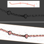
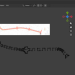
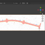
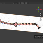
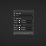
Survey Image Aligner is a Blender add-on designed for precise alignment of survey and reference images in real-world coordinates.
It allows you to accurately rotate, scale, and translate image planes using two-point correspondence, making it ideal for surveyors, technical artists, and visualization workflows based on measured data.
Instead of manual eyeballing, the add-on calculates the exact transformation needed to align an image to the XY plane based on two known reference points. This ensures consistency, repeatability, and correctness when working with site photos, scanned drawings, or survey imagery.
Key Features
-
Align image planes using two known points
-
Precise rotation, scale, and translation in world coordinates
-
Designed for surveying and technical workflows
-
Clean, minimal UI integrated into Blender
-
Non-destructive workflow – works on existing image planes
-
Ideal for infrastructure, construction, and site visualization
Typical Use Cases
-
Aligning survey photos to real-world coordinates
-
Preparing reference images for civil engineering models
-
Technical visualization and site layouts
-
Accurate underlays for modeling based on measured data
Requirements
-
Blender 5.0+
-
Image planes with known reference point coordinates
Built for users who need accuracy over approximation and want their reference data to match reality.