 ParametrStudio


// OSM → BLENDER
Urban Tools
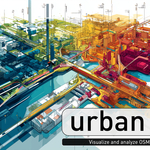
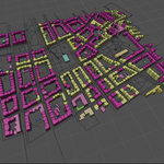
Urban Tools is a powerful Blender add-on for architects, urban planners, designers, and researchers who want to quickly import, explore, and analyze real-world cityscapes based on OpenStreetMap data. Whether you're working on early-stage massing, urban morphology, conceptual diagrams, or simply visualizing your own city in 3D - Urban Tools turns geographic data into spatial models directly in Blender.
Turn OSM data into useful design material - clean, fast, and fully under your control.
Blender 4.2 LTS - 5.2 OSM / Overpass No external GIS tools
// CORE FEATURES
#1Direct OSM Download & Import
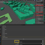
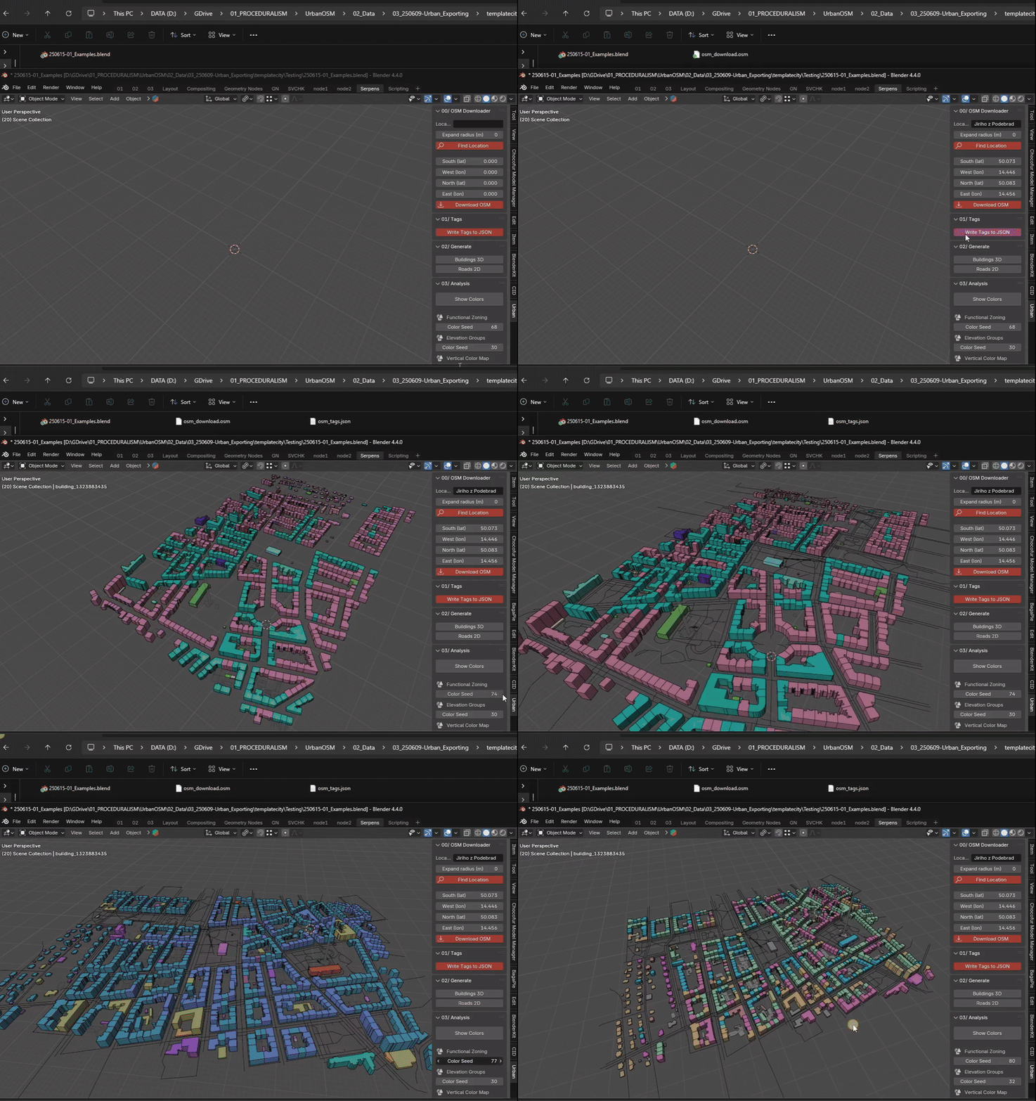
Get OSM data with ease by entering an address and choosing a radius. No third-party tools or external conversion - the add-on handles download, preprocessing, and import into Blender's native format.
#2Geolocation & Projection
Coordinates are transformed into Blender space using the Web Mercator projection, providing consistent metric alignment for architectural and urban design workflows. Precise enough for site-specific studies, massing analysis, and layering with your own models or maps.
#3Modular Building Generation with Real Metadata
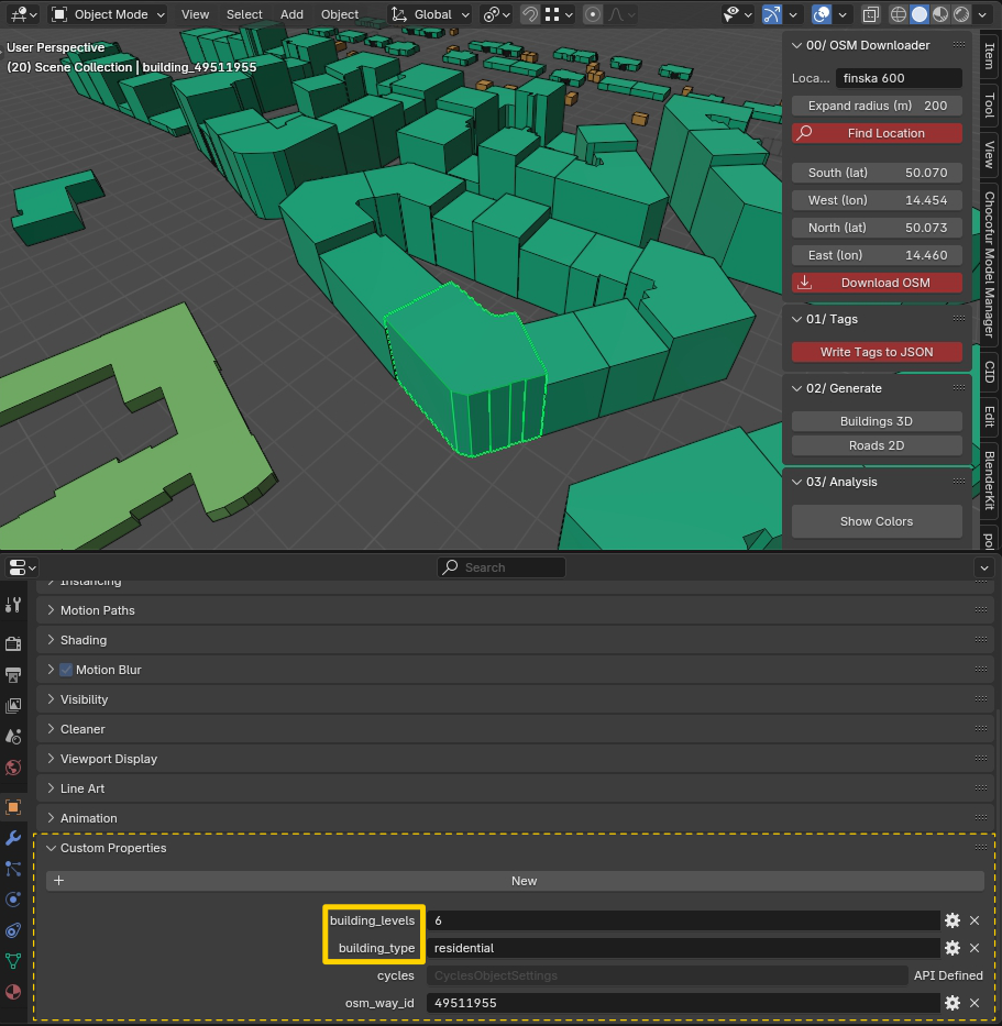
Generate building volumes, or curves for roads and infrastructure levels. Buildings are generated as clean 3D masses based on OSM tags like height and levels. Where data is missing, default values are used. Each object carries metadata accessible via Custom Properties, making further categorization easy.
#4Customizable Analysis Modes
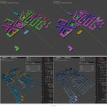
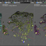
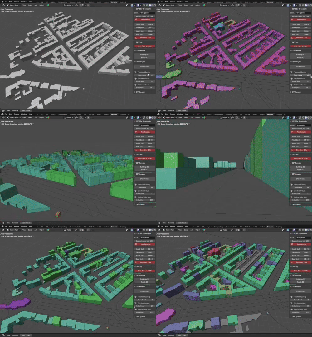
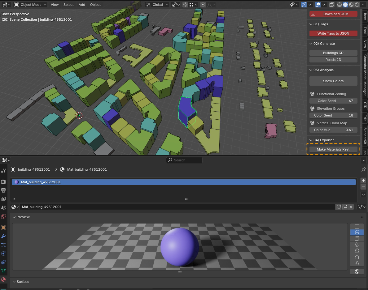
Generate quick urban diagrams based on building height or function. Switch between analysis types with a single click and save colors to Object Properties.
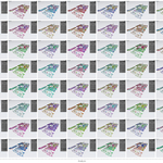
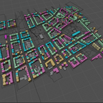
Functional Zoning - color-coded by use (residential, commercial, public…)
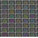
Elevation Groups - grouped by number of floors with random color palettes
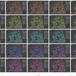
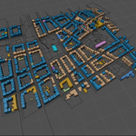
Vertical Color Map - one-color gradient by height with editable hue
Elevation Groups - grouped by number of floors with random color palettes
Vertical Color Map - one-color gradient by height with editable hue
„This is where the true core of Urban Tools begins - laying the groundwork for deeper urban analysis features that could expand in future updates. Still, everything before this point already serves as a powerful, practical toolset for importing, preparing, and testing real OSM data directly in Blender with minimal setup.“ -Parametr-
#5Efficient Material Export for Rendering
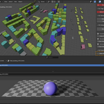
Once your analysis is ready, generate real materials from the colors - an easy switch from viewport visualization to quality renders in Eevee or Cycles.
// WHO IS IT FOR
Architects - early-stage studies and context modeling
Urban planners - spatial typology and morphology analysis
Civil engineers & geographers - infrastructure and territorial modeling
Students & researchers - educational tools for urban systems
3D artists & hobbyists - quick scenes with real-world content
Urban planners - spatial typology and morphology analysis
Civil engineers & geographers - infrastructure and territorial modeling
Students & researchers - educational tools for urban systems
3D artists & hobbyists - quick scenes with real-world content
„From small neighborhoods to entire districts, Urban Tools helps you understand and visualize real environments faster than ever before.“
// WHAT MAKES IT DIFFERENT
Unlike complex GIS importers, Urban Tools is designed for clarity and ease of use. You don't need to download data manually or paste coordinates - just type a place name, and everything is generated directly inside Blender. A streamlined tool focused on urban form: quick studies, spatial analysis, and clean visual experimentation without leaving your 3D environment.
// DISCLAIMER
OpenStreetMap data is an open, community-driven resource. While incredibly useful for early-stage studies, the data can be approximate or incomplete depending on the region. Urban Tools is designed for conceptual modeling, analysis, and visualization - not for construction-grade documentation.
This product uses data from OpenStreetMap, licensed under the Open Database License (ODbL) 1.0.
© OpenStreetMap contributors · openstreetmap.org/copyright
© OpenStreetMap contributors · openstreetmap.org/copyright